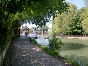
I’ve thought for a while it would be nice to include a post that showed the tow path walk along the Thames (Isis) that we take when we walk into Oxford. Most of these photos were taken not long after we arrived, in May; the walk is similar now, but there are less flowers.
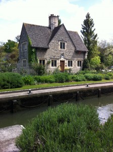
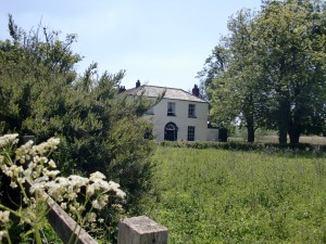
The lock keeper’s pretty house, which dates from the 1920s, dominates the lock. It has a gorgeous garden, kept in order by volunteers. Now the lock is run by different shift workers, paid and volunteers, and sadly the house is their headquarters, not a home.
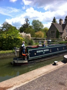
I love how the dog is the only one with a life-jacket, and I love the name of the narrowboat:
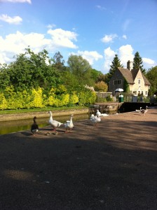
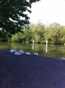
The geese at the lock are still a major feature, and you don’t get between them and the goslings:
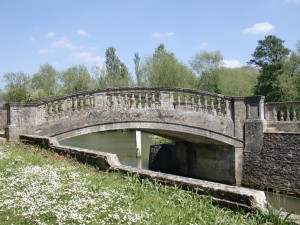
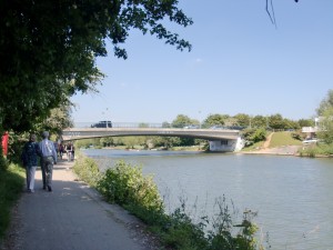
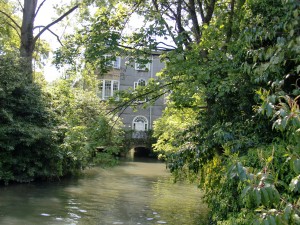
A little way past the lock is a really lovely bridge across the slipway.
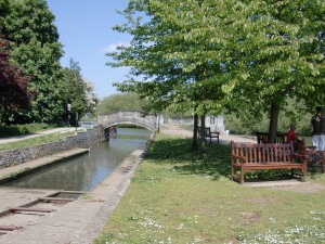
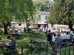
Then we (usually) walk past the Isis Tavern, dating from the 1840s and open on weekends. You can’t drive to it and access is only on foot, bike or boat! It is a fantastic place, with good food and beer (and cake!)
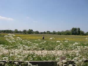
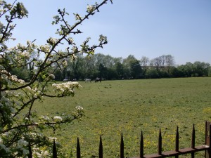
Next to the Tavern is an large meadow. I love this photo, which could date from any time: the child and its mother walking through the long grass in the meadow, towards the river.
Is it the river Isis or the river Thames?
As Wikipedia says: The Isis is the name given to the part of the River Thames above Iffley Lock which flows through the university city of Oxford, England, past Christ Church Meadow and the focal point of rowing for Oxford University.
Historically, and especially in Victorian times, gazetteers and cartographers insisted that the river Thames was correctly named the River Isis from its source until Dorchester-on-Thames, where the river meets the River Thame and becomes the “Thame-isis” (from which the Latin, or pre-Roman Celtic, name Tamesis is derived), subsequently abbreviated to Thames; current Ordnance Survey maps still label the Thames as “River Thames or Isis” until Dorchester. Since the early 20th century this distinction has been lost in common usage even in Oxford, and some historians suggest the name Isis is nothing more than part of Tamesis, the Latin name for the Thames.
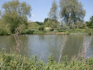
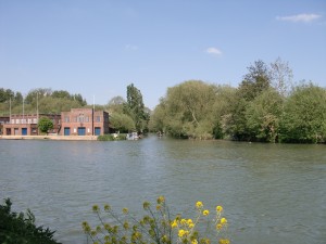
Whatever the name, it’s lovely to look at or to sunbathe beside:
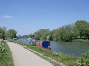
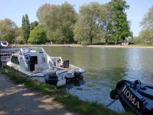
It’s a magnet for narrow boats, which moor along the river.
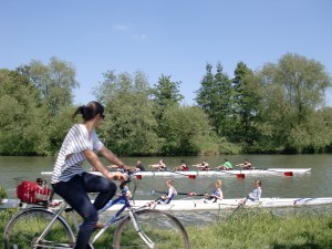
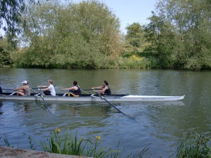
And for the rowers and scullers – and bicycles:
Further along the path is Dorrington Bridge. Its rather obscure graffiti has been there since my Oxford days in 2000, it reads: ‘Hanu is God’.
We love the large meadow past the bridge, in which horses graze alongside geese. Toby swears that they’re gypsy horses.
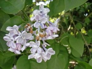
In spring the towpath was lined with lilac blossom.
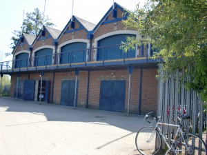
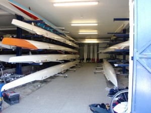
A little further along the path takes us past a very large boatshed, which is shared by several colleges:
Once, it was open and we had a look around:
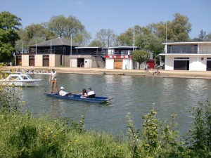
A little further the path the older College boatsheds are visible on the other side of the river. They stand where the Cherwell and the Isis meet:
The Cherwell (pronounced Charwell) is the main punting river in Oxford.
The river can get rather crowded there:
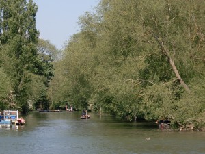
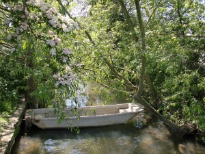
But the route takes us past a peaceful brook off to the side:
Now we’re getting closer to Oxford and it’s a bit more crowded and a bit less salubrious.
A prize if you can find the little white dog in this photo.
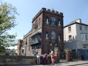
Close to the end of the path is Oxford’s answer to a Venetian mansion.
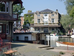
And then, it’s the Head of the River pub:
Beyond the pub is one of the sights of Oxford, the rather creepy Statue House on the river:
And now we’re in Oxford. It’s just a short walk up St Aldates past Christ Church to Carfax, the centre of town.
Next time – Beautiful Stowe gardens, Magdalen College and more…

